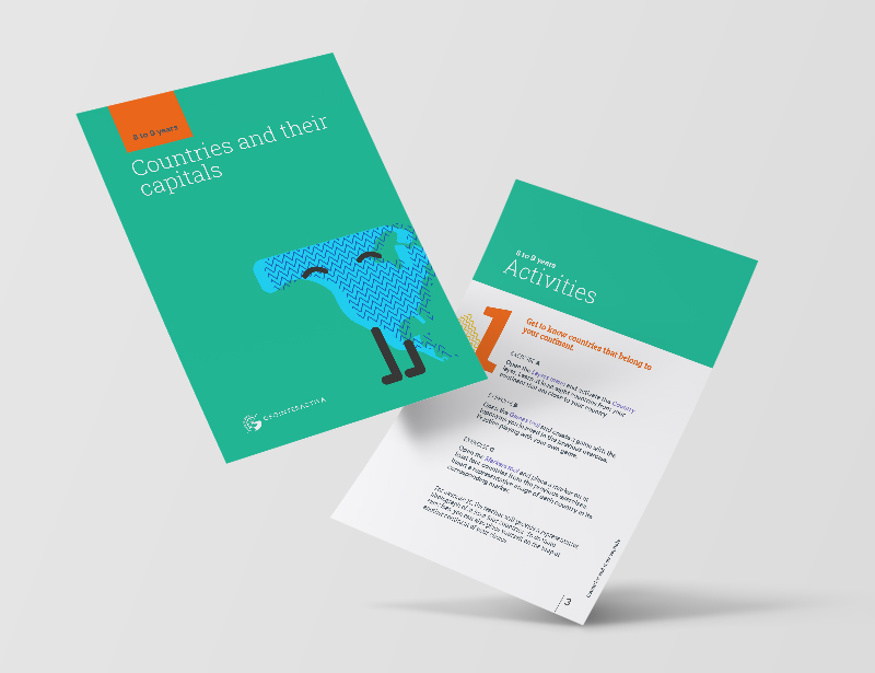
primary (8-9 years old).
Countries and capitals of the world
In this activity, you will learn about the importance of primary school children knowing the countries and capitals of their continent, as well as some strategies to teach them in a didactic and participatory way to identify and locate them on a map.
In this downloadable resource, you will find a PDF with instructions to liven up your classes. On one hand, we’ll show you which platform tool you’ll be working with, and on the other hand, we’ll suggest activities suitable for 8-9-year-old students.
Do you want your classes to be stimulating? Start today with GeoInteractive.
We suggest teaching geography in a fun way
What will your students learn from this educational activity?
The importance of knowing the countries and capitals of the world
Geography is a discipline that studies the geographical space and its different components, such as relief, climate, flora, fauna, population, and culture. One of the most important aspects of geography is the location of countries and their capitals, as it allows us to understand the political and territorial organization of the world.
In this article, we will explain the importance of elementary school children knowing the countries and capitals of their continent, as well as some strategies for teaching them in a didactic and participatory way.
Knowing the countries and capitals of the continent
Knowing the countries and capitals of their continent is essential for children to understand the cultural, linguistic, and geographical diversity that exists in the world. In addition, it helps them understand the political and territorial organization of the world and to position themselves in the geographical space.
Furthermore, knowing the countries and capitals of their continent fosters respect and tolerance towards the different cultures and peoples of the world. It teaches them that all cultures have something to offer and that all deserve respect and appreciation.
Strategies for teaching in a didactic and participatory way
Teaching geography can be very fun and didactic if the appropriate strategies are used. Some of the strategies that can be used to teach the countries and capitals of the continent are:
Maps: Maps are a fundamental tool for teaching geography. Children can learn the countries and capitals of their continent by coloring and labeling countries on a map. This will help them position themselves in the geographical space and understand the relationship between different countries.
Games: Games are a fun way to teach geography. Memory games, puzzles, bingo, among others, can be made in which children have to identify the countries and capitals of their continent.
Group work: Group work is a way to encourage collaboration and teamwork. Countries and capitals can be assigned to each group and they can be asked to research the culture, language, population, and geography of each country. Afterwards, they can present their work to the rest of the class.
Field trips: Field trips are a way to teach geography in a practical way. Trips can be organized to nearby places where children can observe the geography of the place and relate it to that of their continent.
Conclusions
In conclusion, knowing the countries and capitals of their continent is essential for children to understand the political and territorial organization of the world and to foster respect and tolerance towards the different cultures and peoples. Teaching geography can be very didactic and fun if the appropriate strategies are used, such as the use of maps, games, group work, and field trips. In this way, geography can be taught in a participatory and motivating way, fostering the interest of children in geography and the world around them.